How to control vehicles through mobile phones and applications?
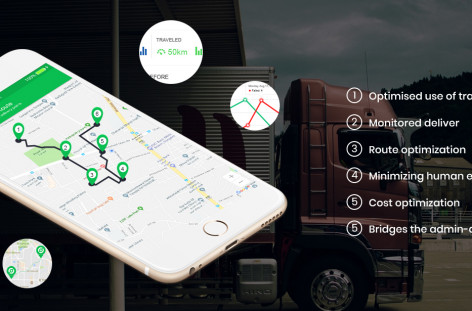
Vehicle tracking and monitoring are the most important activities in logistics management, during the last mile deliveries. To support vehicle control through real-time tracking will let you monitor the delivery status and the conditions of distribution routes all the time.
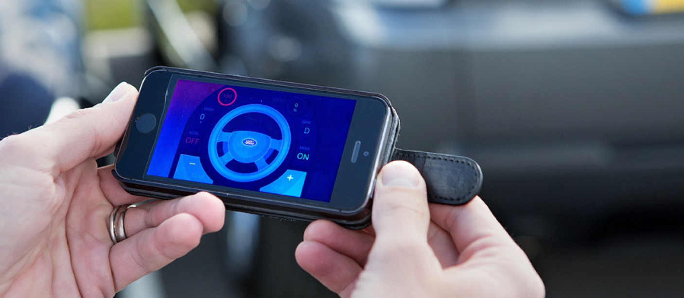
Vehicle control via mobile phones
It is crucial to get an idea about three basic components, which act interconnectedly in order to know how most of the modern technological platforms for vehicle control works.
Mobile geological systems for vehicle control
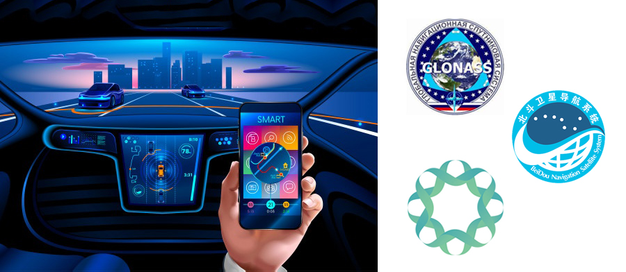
Globally, there are various satellite platforms that offer geolocation capabilities for controlling vehicles. But only the most powerful is much compatible to use on mobile phones. Here the information regarding the four largest constellations is given:
GPS GPS platform is extremely important that is managed by the United States. Assisted Global Positioning System (A-GPS) is also acquired from this platform, which is the other version of GPS that focuses on any mobile device.
GLONASS It is the satellite platform which is controlled by Russia. The smartphones of the brands HTC, Apple, Sony among others, are much compatible with this system.
BeiDou It is the platform developed by China which is compatible with mobile phones of brands such as Xiaomi, Huawei, ZTE and Vivo.
Galileo It is the platform created by the European Union which is compatible with smartphones from Huawei, Samsung, Apple, among others.
Mobile apps and websites for vehicle control
Nowadays, there is logistics transport software which allows vehicle control through both mobile apps and web apps. They can be used from a mobile phone or even from a desktop computer.
These applications make use of the geolocation mechanisms of drivers mobile phones. Nevertheless, if they are based on GLONASS, A-GPS, BeiDou or Galileo systems. Hence, it is not much required to install a satellite tracking device to track a vehicle. The carrier's mobile phone is more than adequate.
Map management and assisted navigation applications
The logistics apps that are developed for vehicle control are also compatible with other applications to enhance performance. Examples of such applications are Google Maps and Waze.
Google Maps is a map manager which gives information related to calculation of route, real-time traffic, GPS tracking and navigation, and many more. Waze is an assisted navigation app offering information on the levels of traffic, location of service stations, names and street locations, clear directions to reach the destination, location of tolls, cost of fuel, etc.
Conclusion
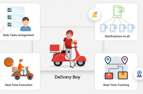
Vehicle management puts your organization in a superior business position by enhancing client satisfaction, optimizing internal operations and helps to track the location of the products during transport. Deliforce is the last-mile delivery tracking and management software where admin can assign different tasks to the agents and track them in real-time. Customers can also track the agents, find the estimated time of arrival of the agent, and get details about the exact location of their product. It has many user-friendly features like optimized route, automatic dispatch, fleet tracking, delivery proof and analytics management. Contact Deliforce to get solutions to your business.